Tides Predictions for Barbados
Colorado State (CSU) Hurricane Forecasts
US Geological Earthquake -Atlantic/Caribbean
Weather Underground - Tropical Page
Barbados Meteorological Service
Barbados Weather Conditions
Barbados & Eastern
![]()
*** Data & Imagery Processed ***
*** by Brookhaven Weather Station ***
Ground Station ID: 127191; MADIS ID: D1558
Caribbean Weather
ABOUT ME, my Weather Station and Site
Report of the Development of Tropical Storm Tomas as it approached Barbados
Tropical Cyclone Report Hurricane Tomas (AL212010) from the NHC

Rockley, Barbados Weather Station
(VantagePro2 from Davis Instruments processed by Ambient Weather software)
Barbados Current Weather Conditions
Barbados Current Weather Conditions Int'l.
Rockley Weather Station
Barbados
Meteorological Office Web site
IntelliCast - Barbados Weather
Citizen Weather Observer Program
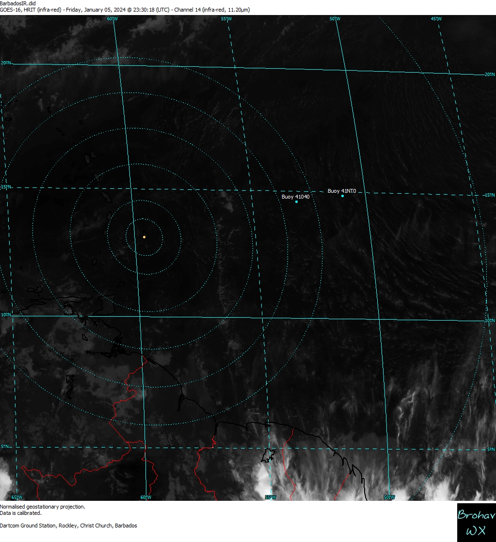
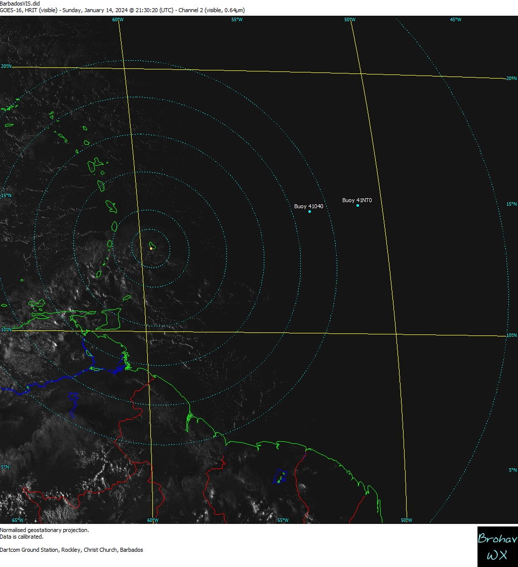
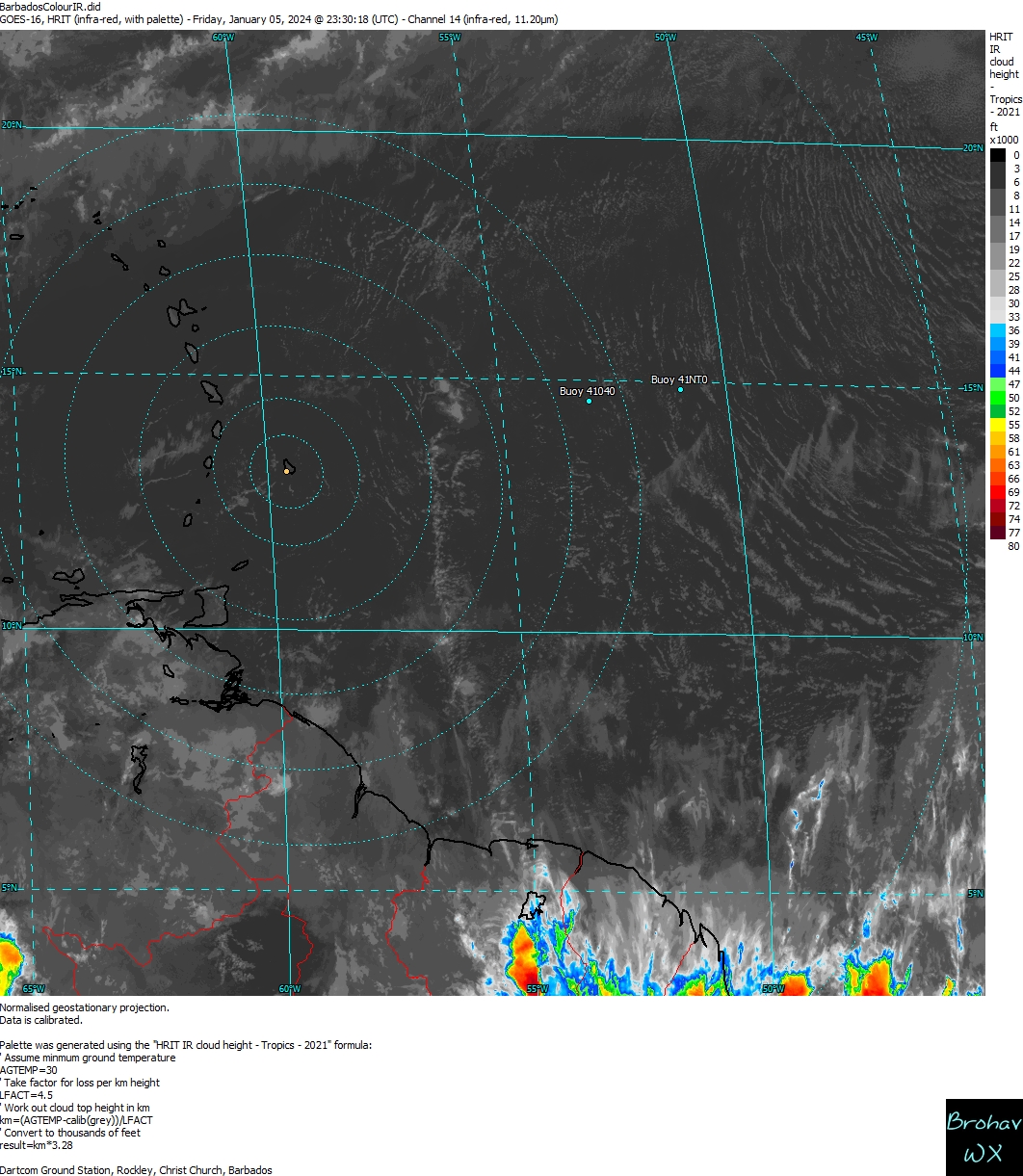
Barbados Satellite Images near
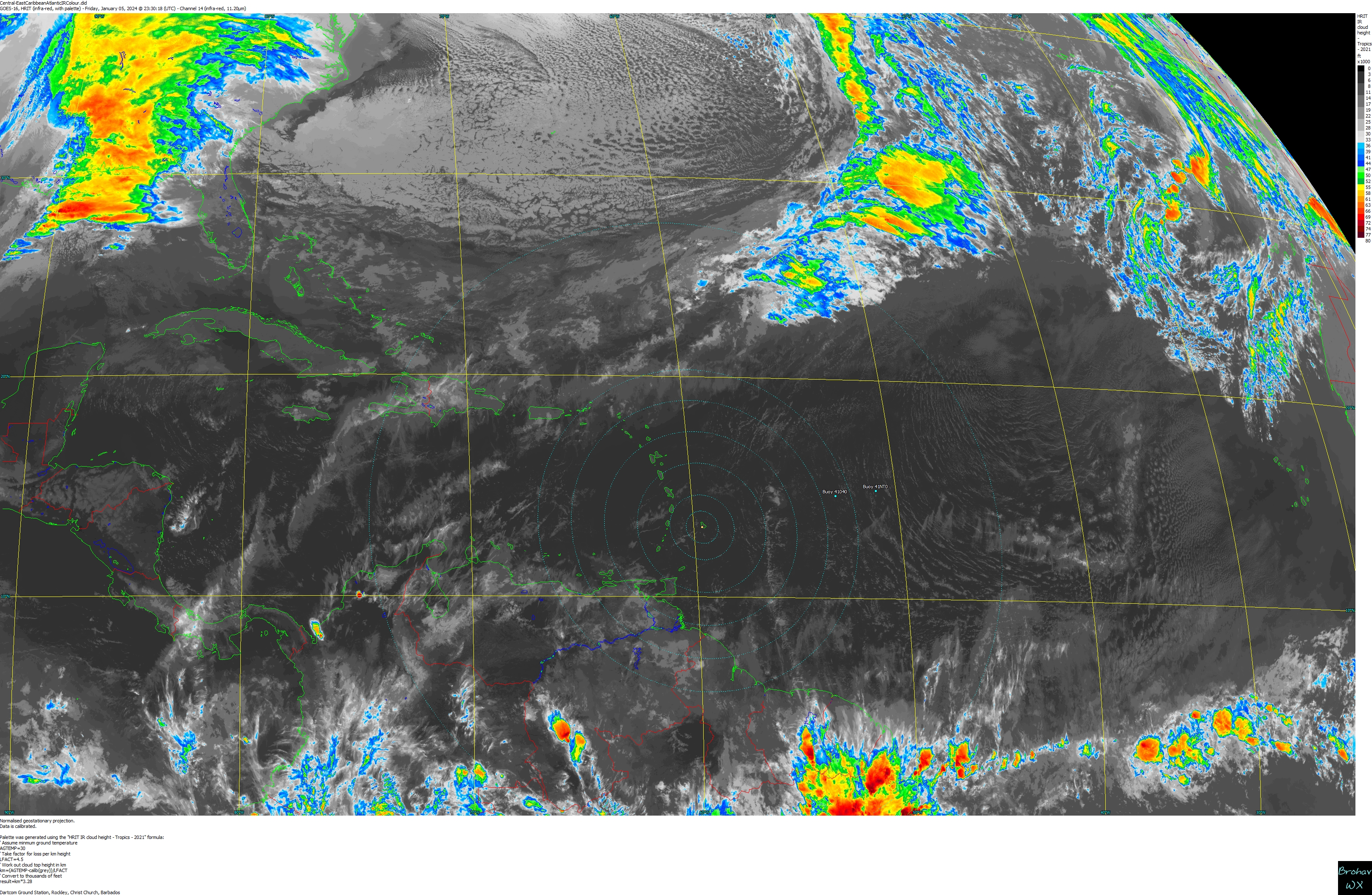
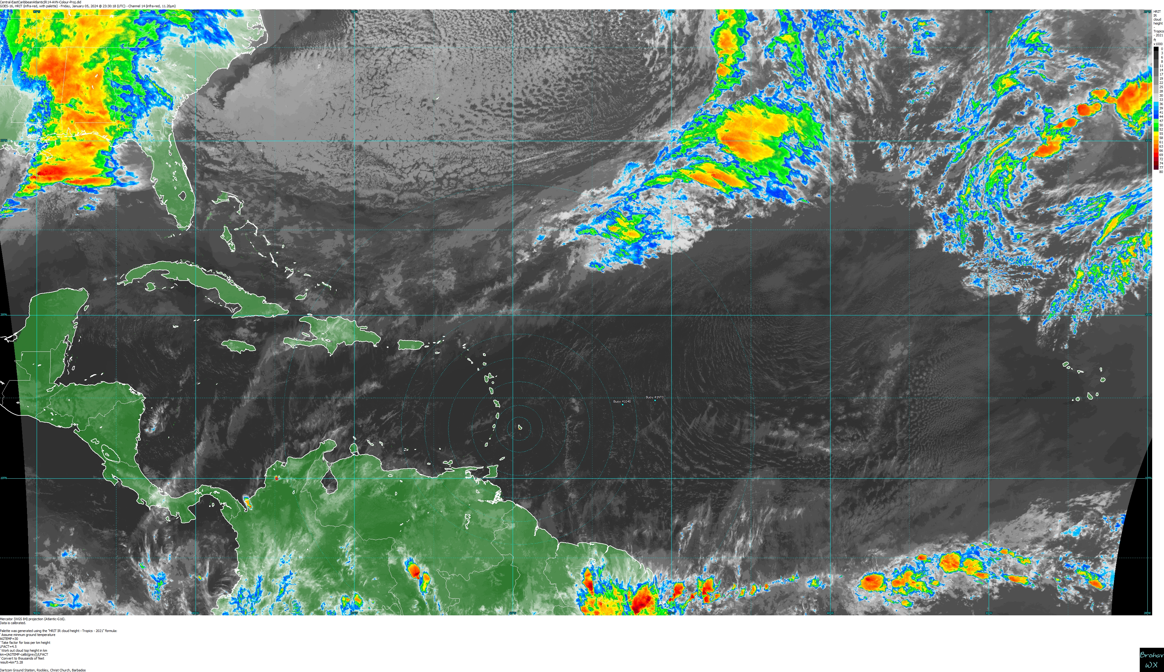
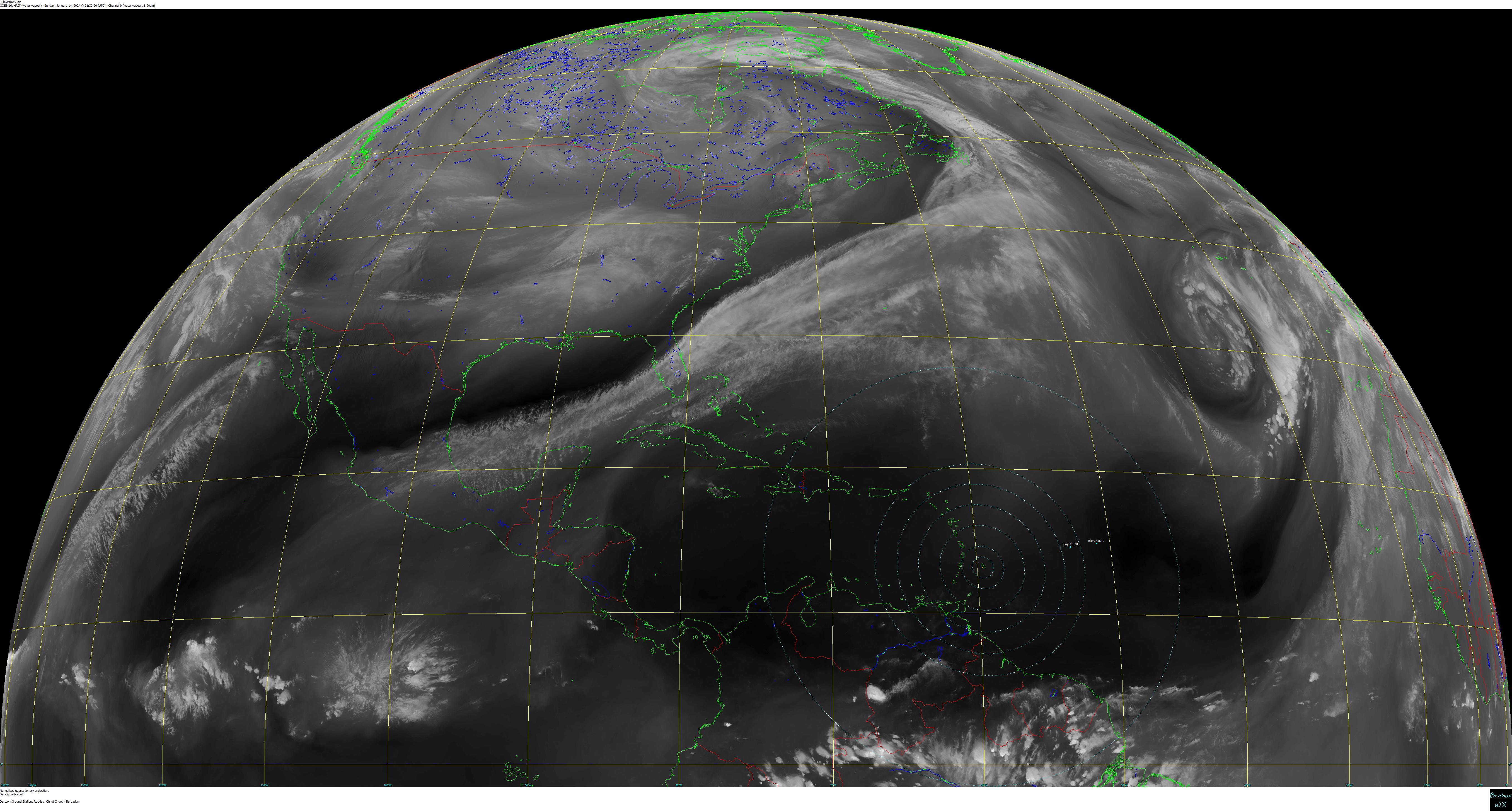
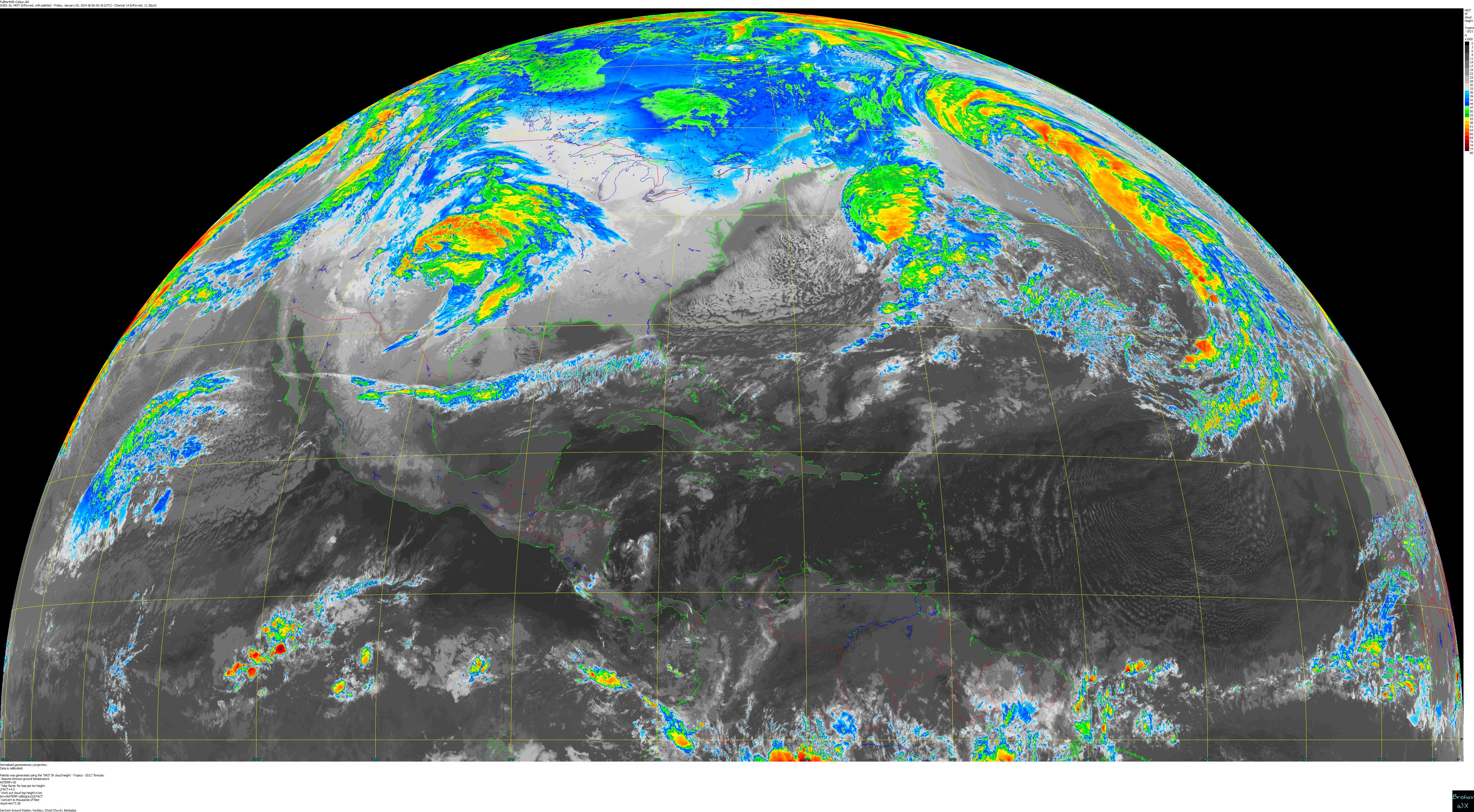
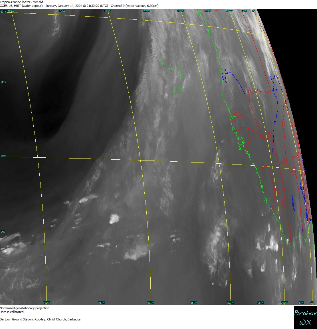
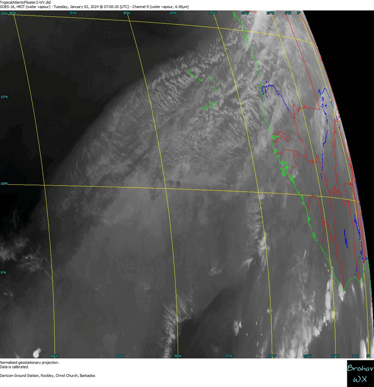
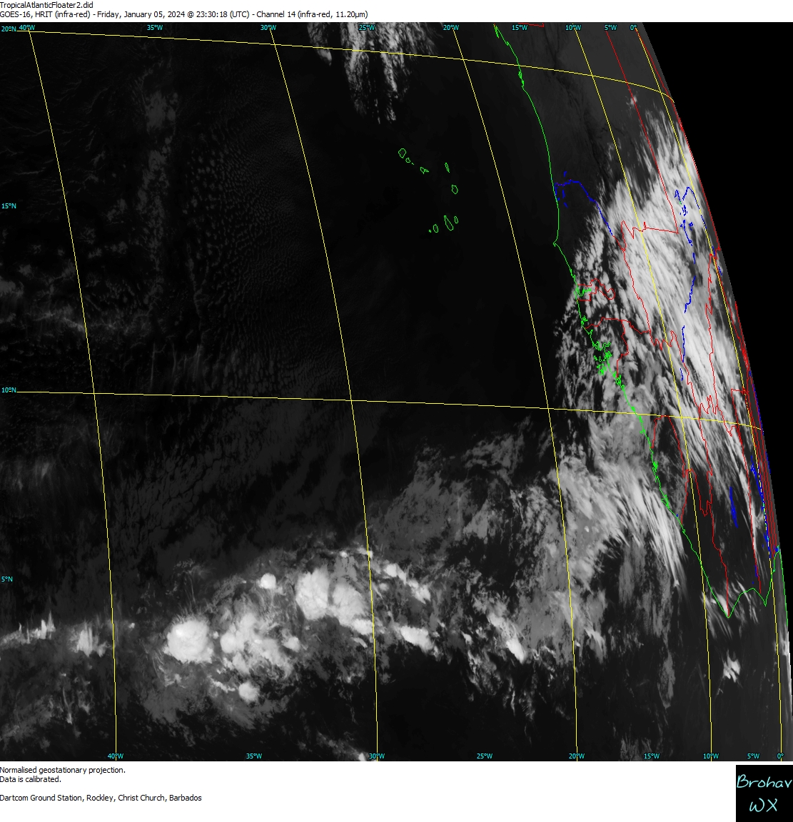
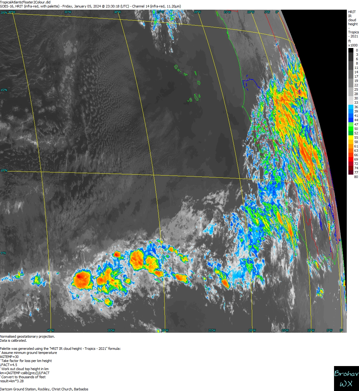
Real-Time GOES-16 HRIT Images
 Processed right here in Rockley, Barbados
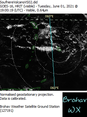
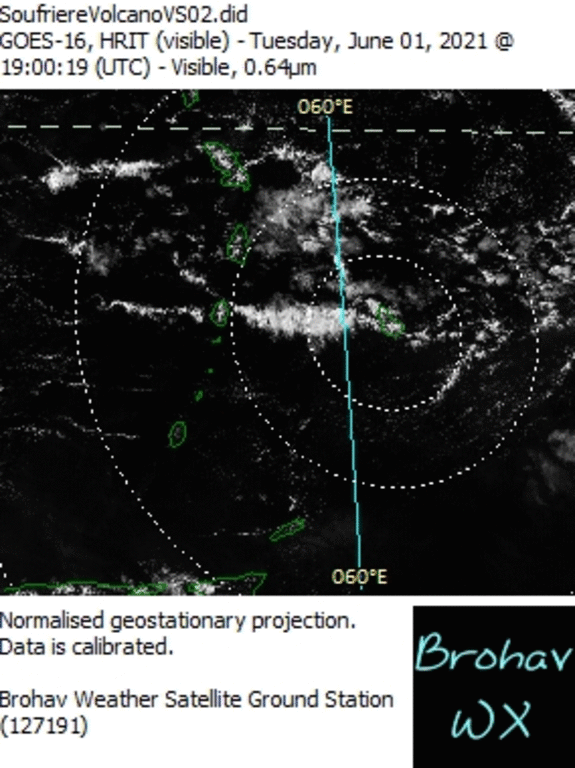
SoufrièreVolcano VS02 (Animated Loop)
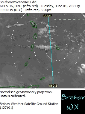
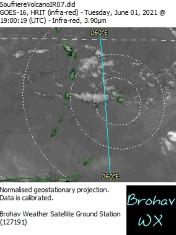
SoufrièreVolcano IR07 (Animated Loop)
Eastern Caribbean & Atlantic IR07
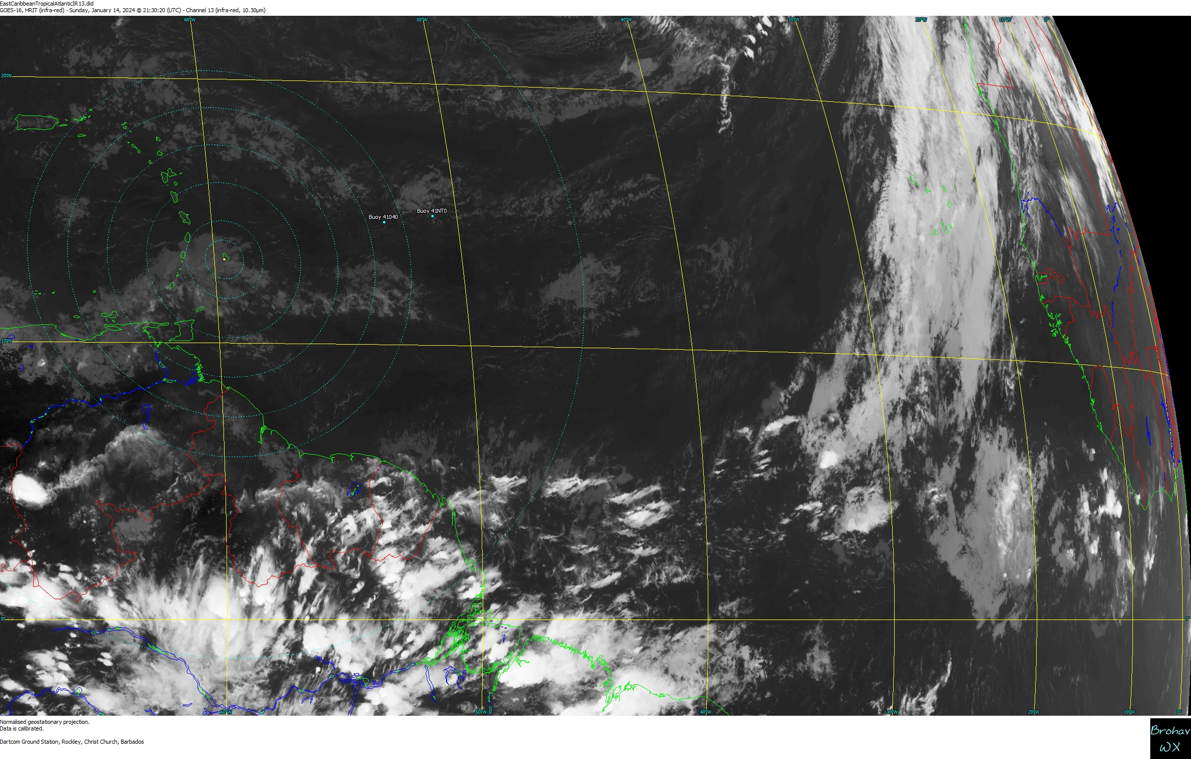
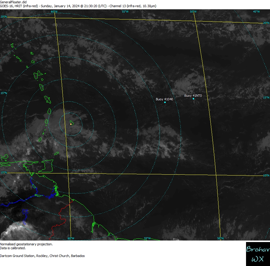
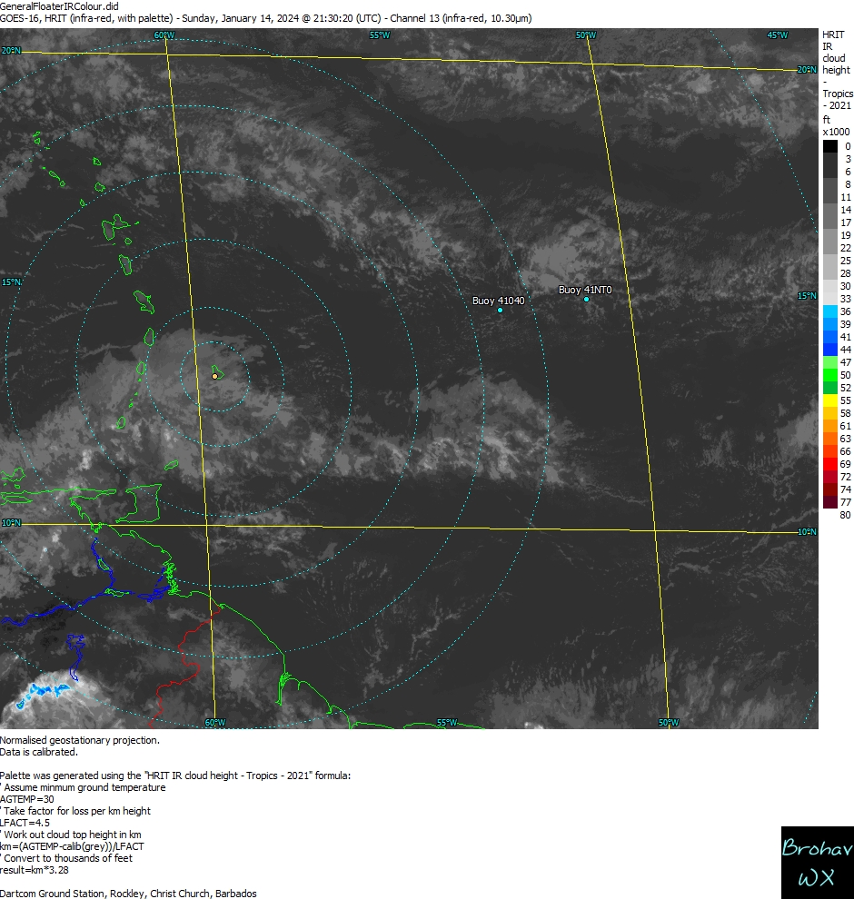
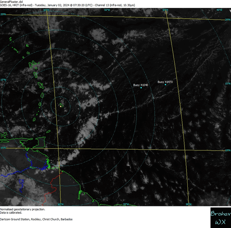
Eastern Caribbean & Atlantic IR13
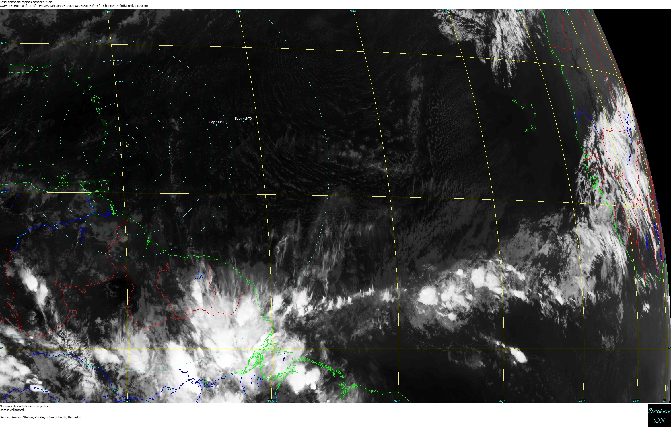
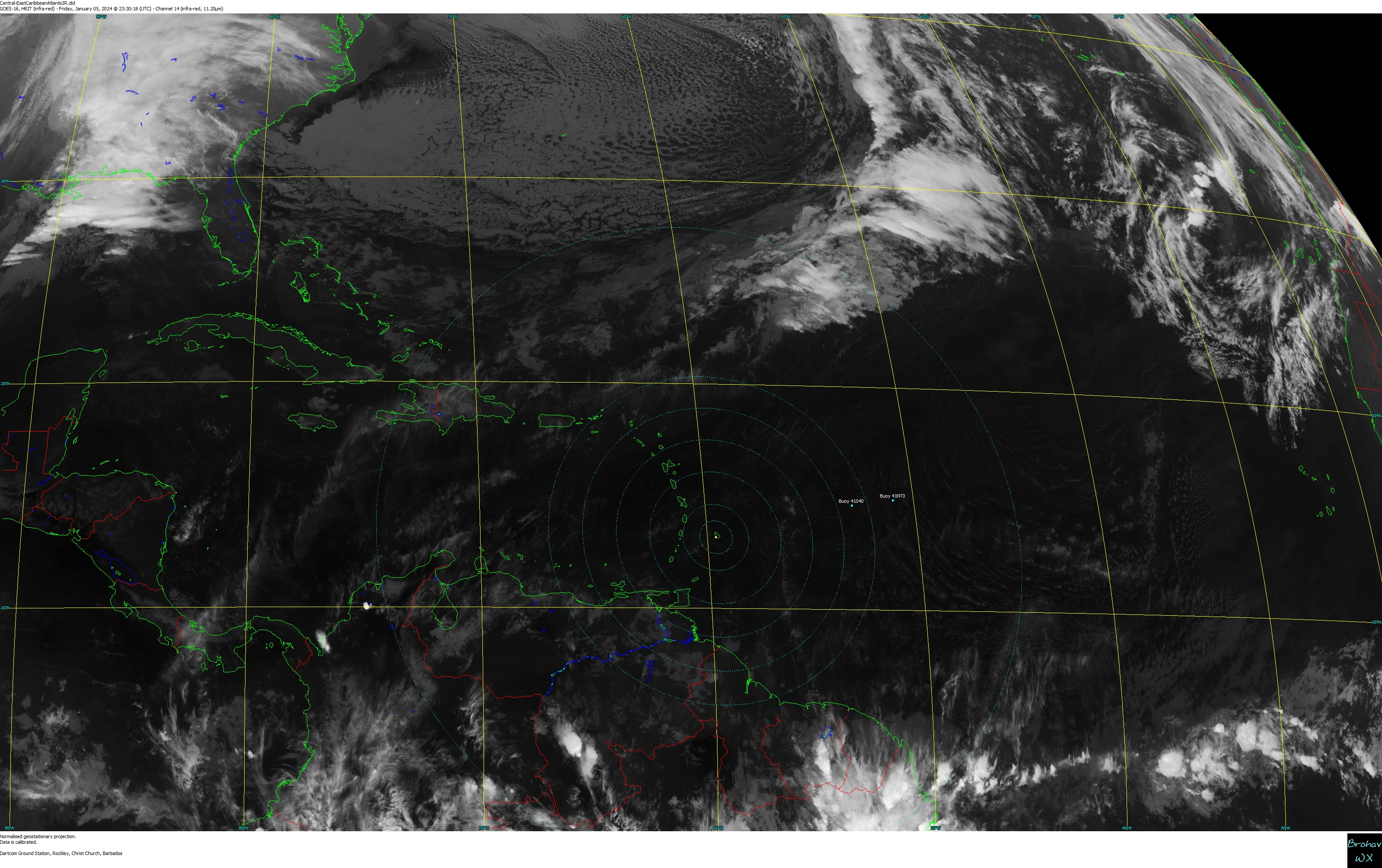
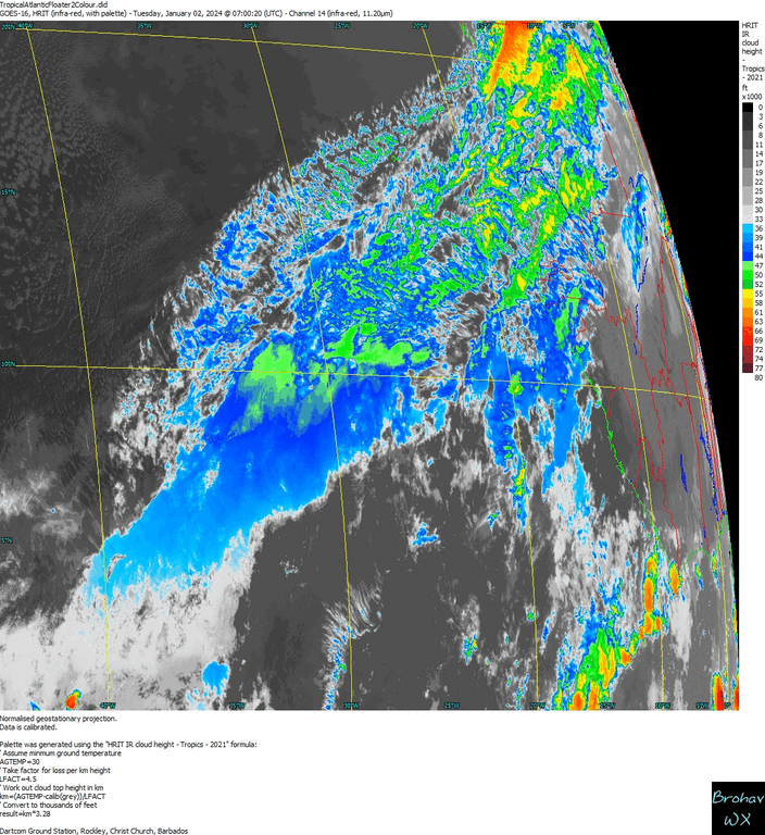
Eastern Caribbean & Atlantic IR14
Eastern Caribbean & Atlantic IR15
Eastern Caribbean & Atlantic IR - Mercator*
Eastern Caribbean & Atlantic IR - Merc/Loop
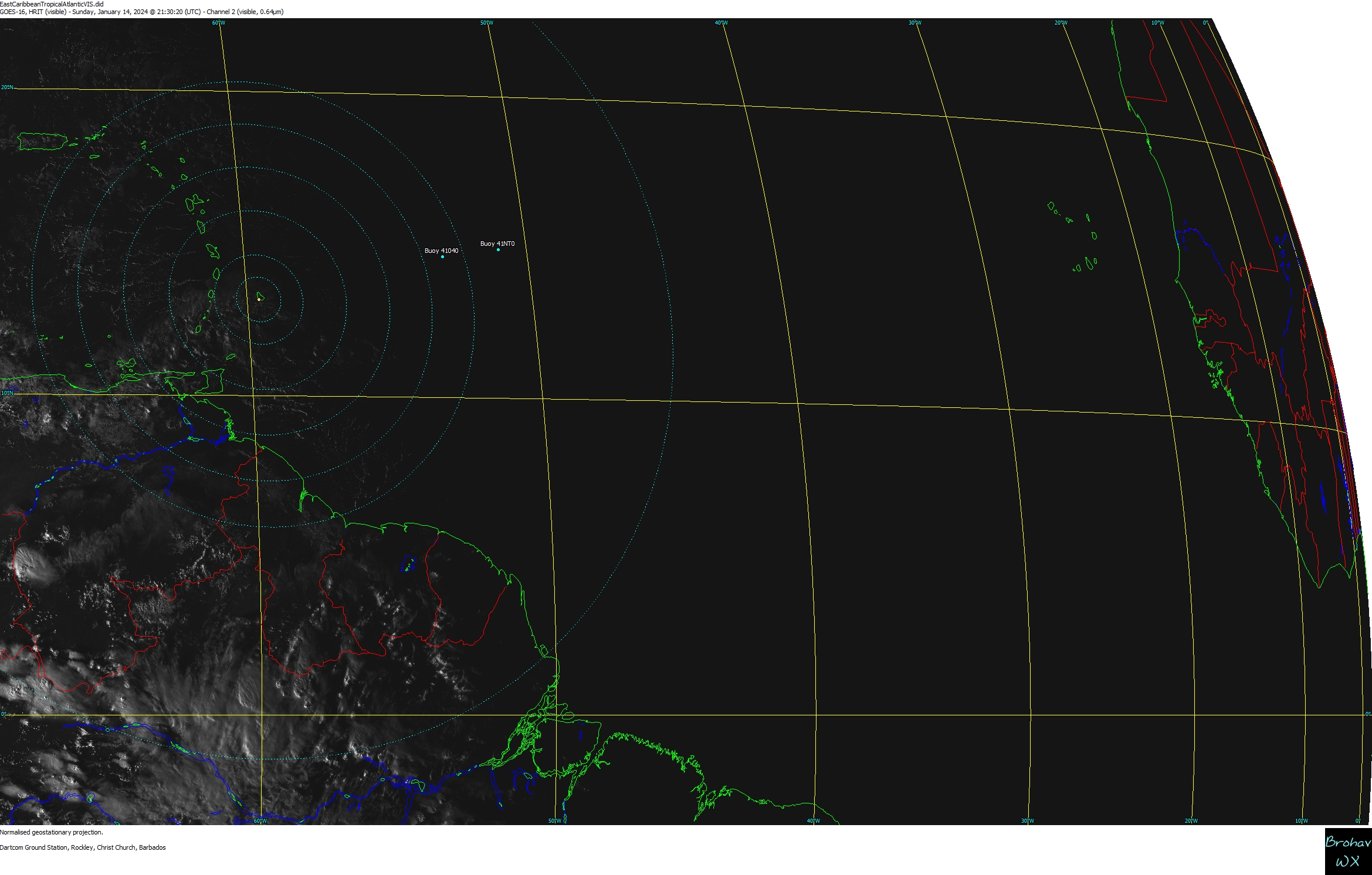
Eastern Caribbean & Atlantic VIS
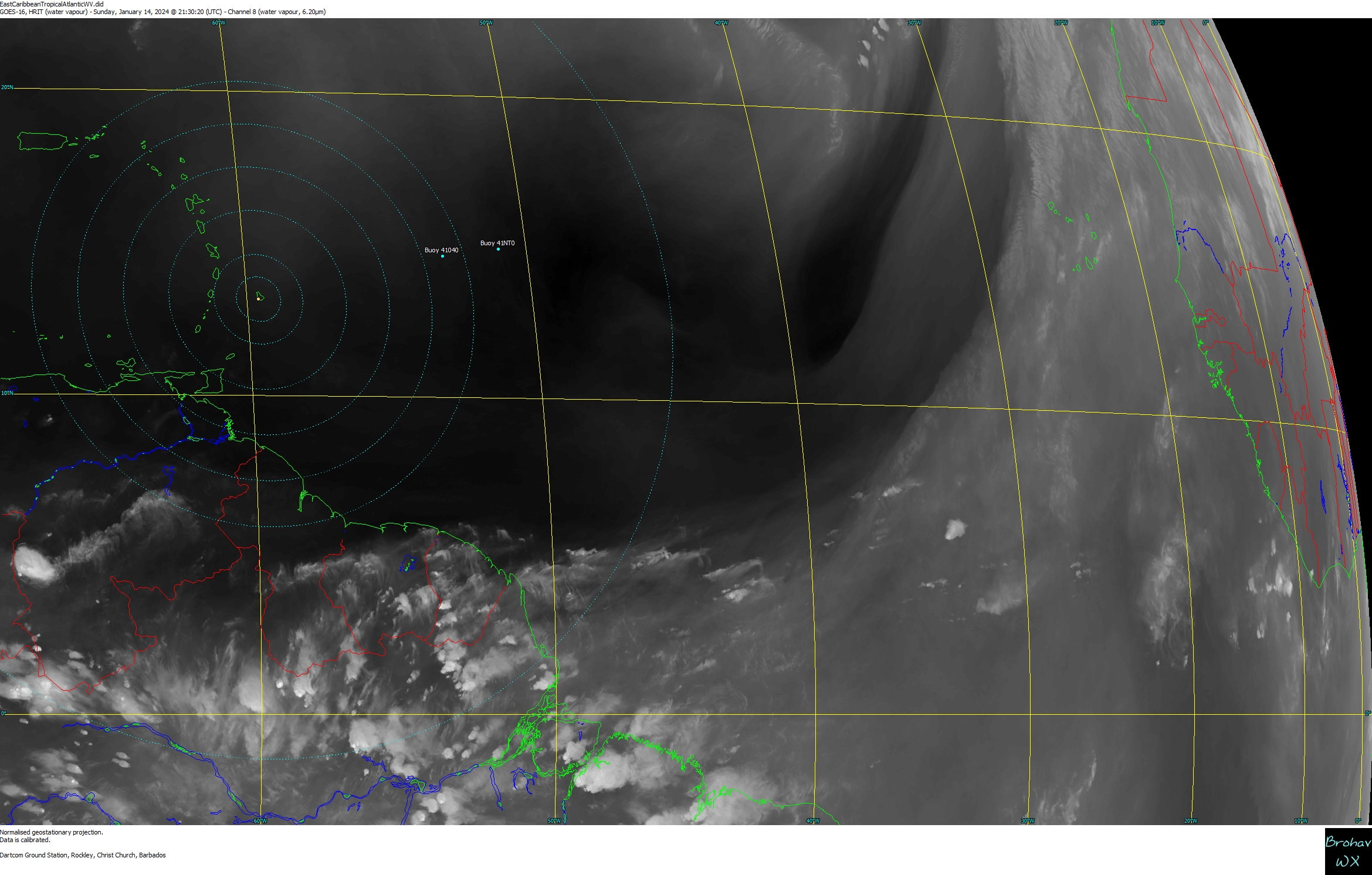
Eastern Caribbean & Atlantic Upper WV08
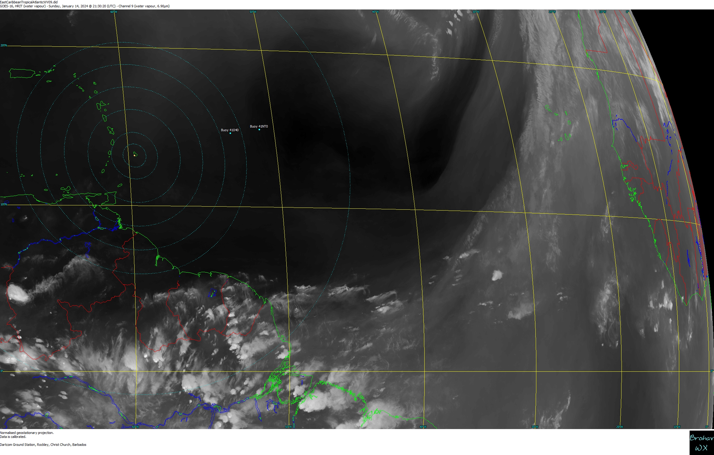
Eastern Caribbean & Atlantic Mid WV09
Eastern Caribbean & Atlantic Mid WV Col/Merc*
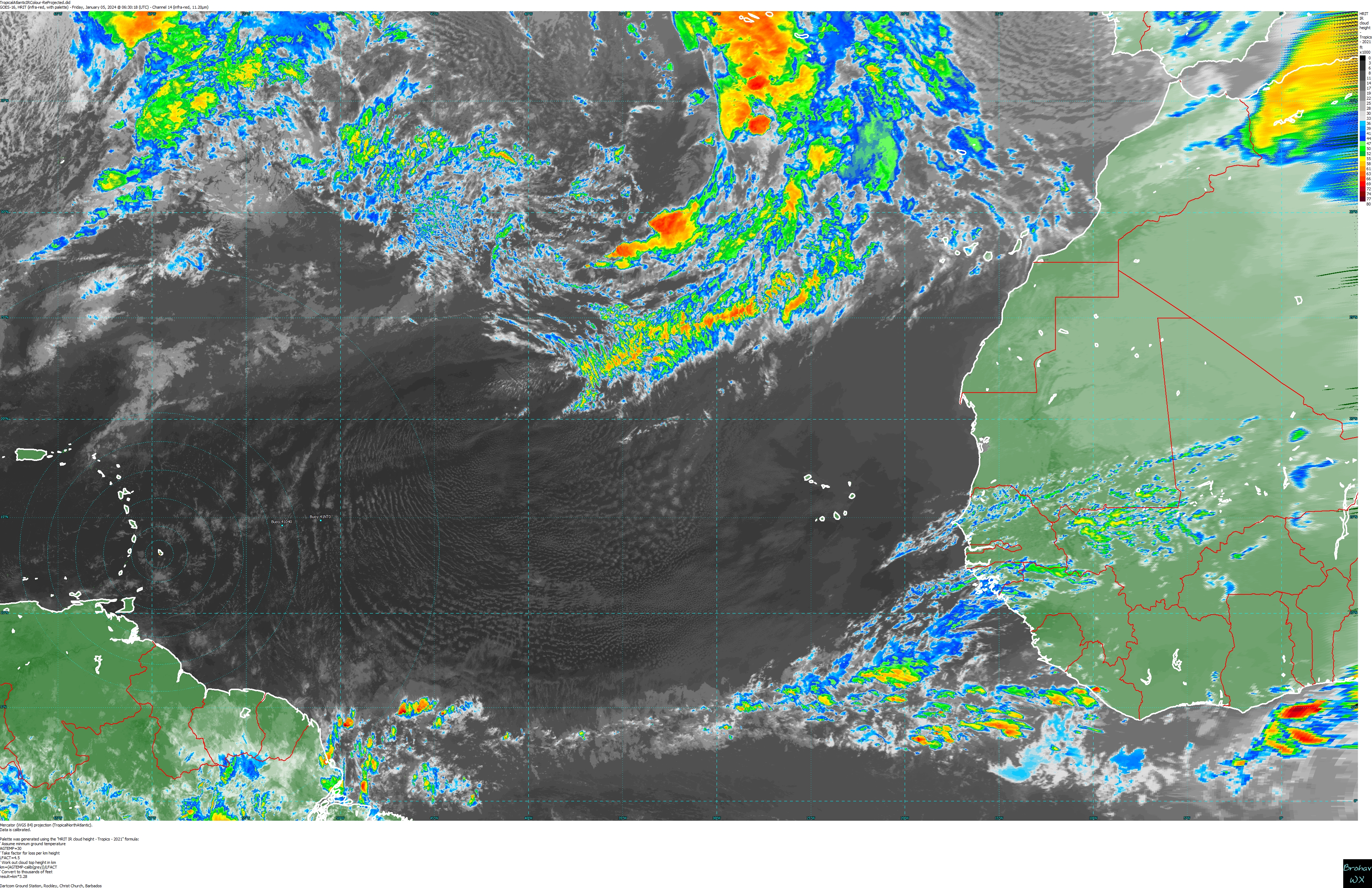
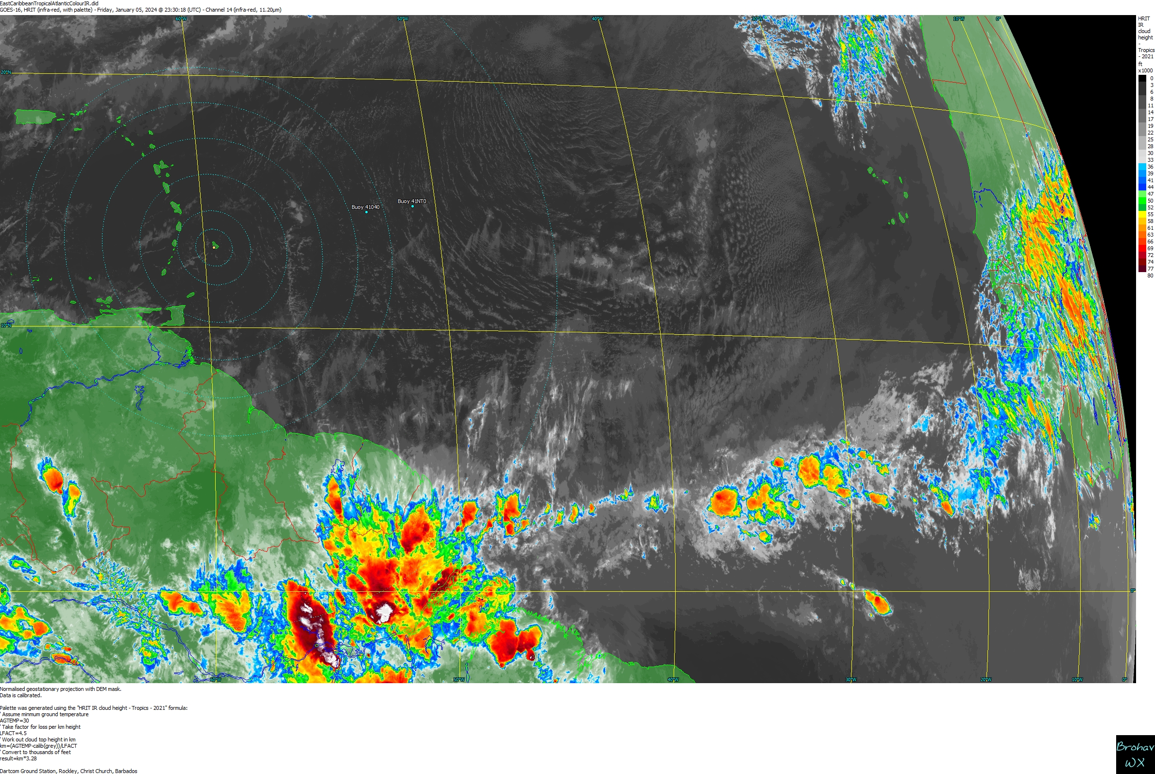
Eastern Caribbean & Atlantic IR - Colour
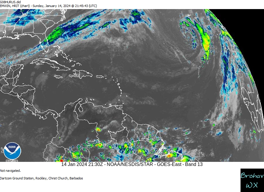
Atlantic Caribbean & Gulf IR Colour(HURUS)
Atlantic Caribbean & Gulf IR Colour ^ animated
Gulf/Caribbean/Atlantic IR Colour
Gulf/Caribbean/Atlantic IR Colour-Mercator*
Gulf/Caribbean/Atlantic IR Colour-Merc/Loop
Full North Hemisphere - IR Colour
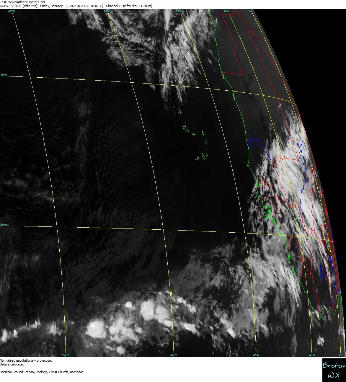
East Tropical Atlantic/West Africa IR
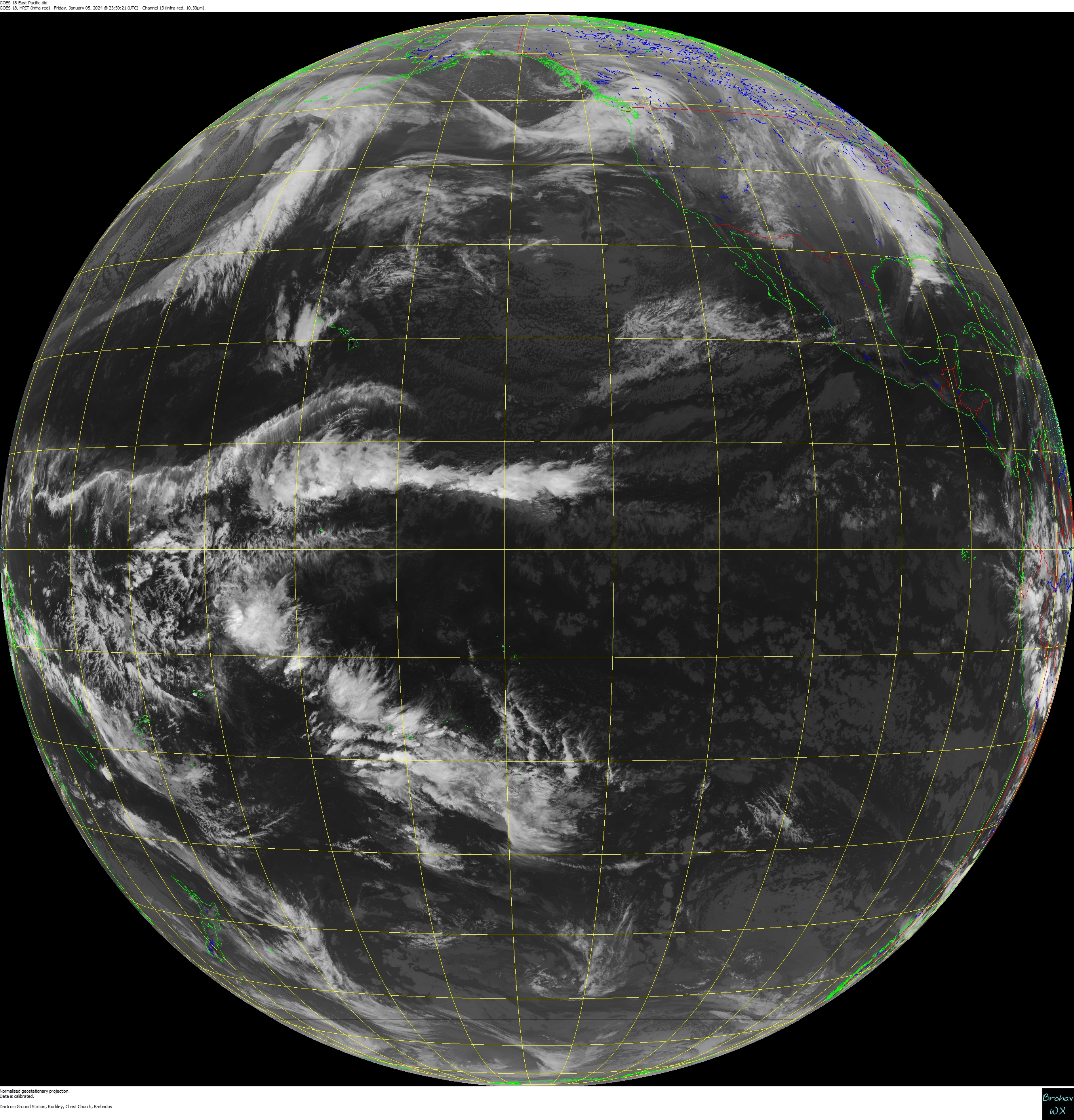
Atlantic/East Pacific Full Disk IR (GOES-19/USA)
Africa/East Tropical Atlantic IR (Meteosat/EU)
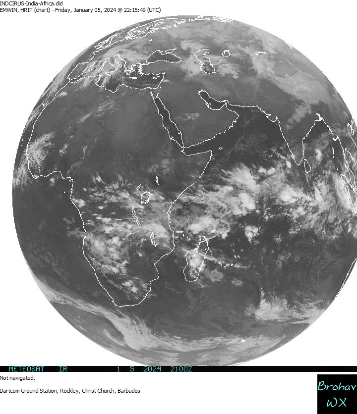
Africa/Indian Ocean IR (Meteosat/EU)
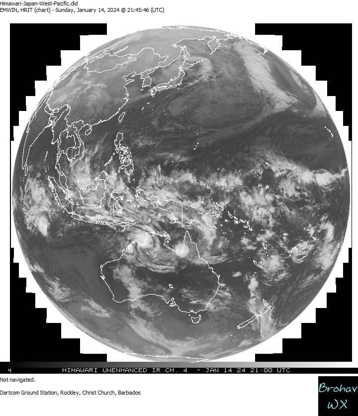
West Pacific IR (Himawari/Japan)
* Re-Projected Images - Curvature correction
Barbados Weather areas of interest ...
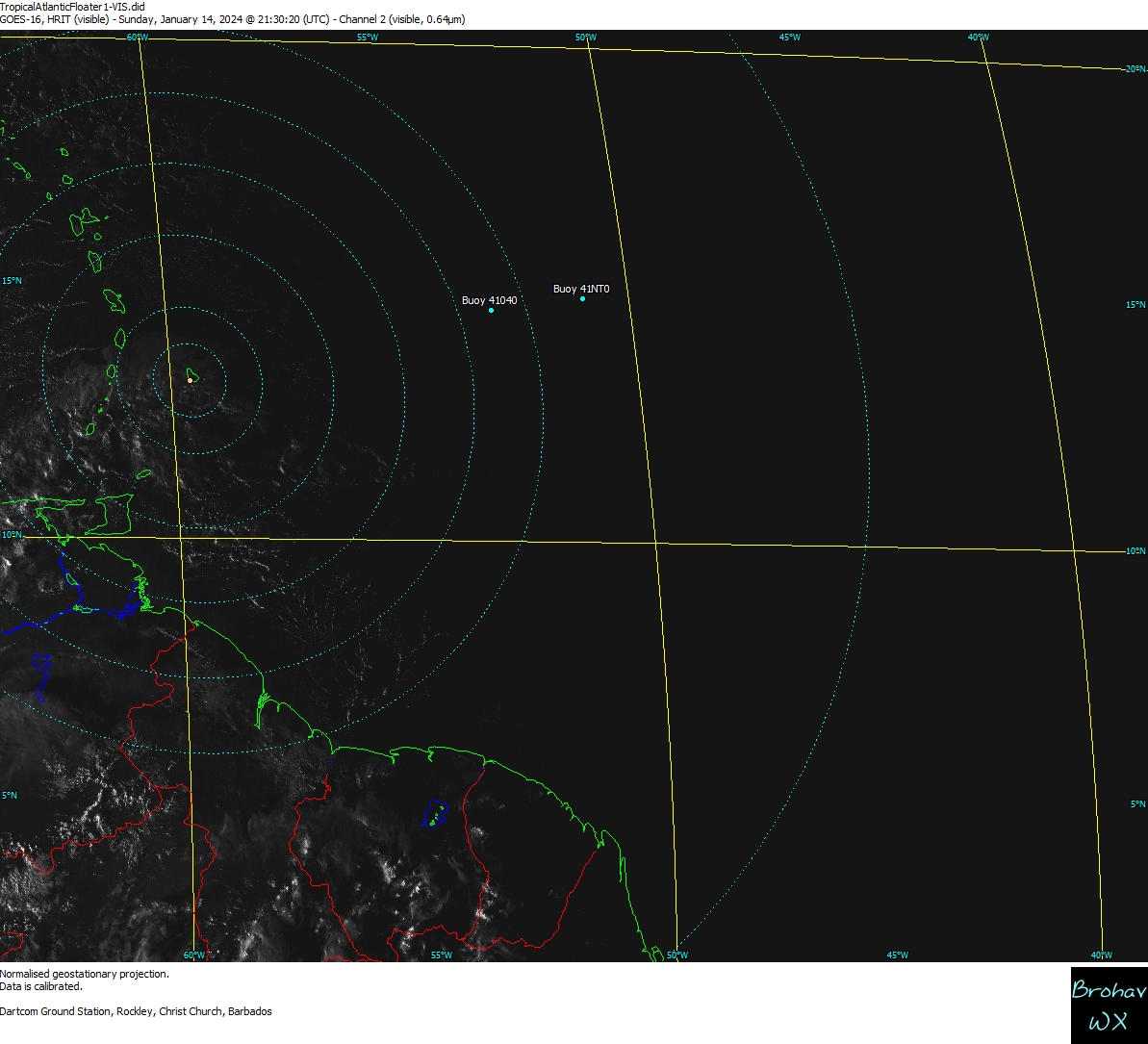
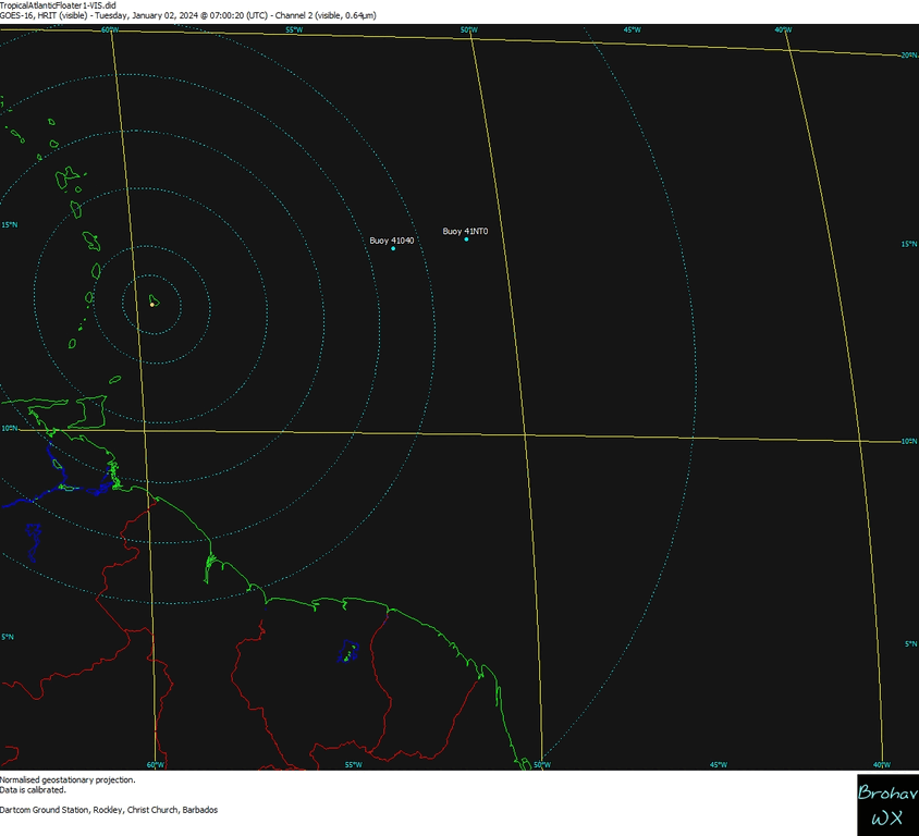
Floater 1 VIS VIS Image VIS-Loop
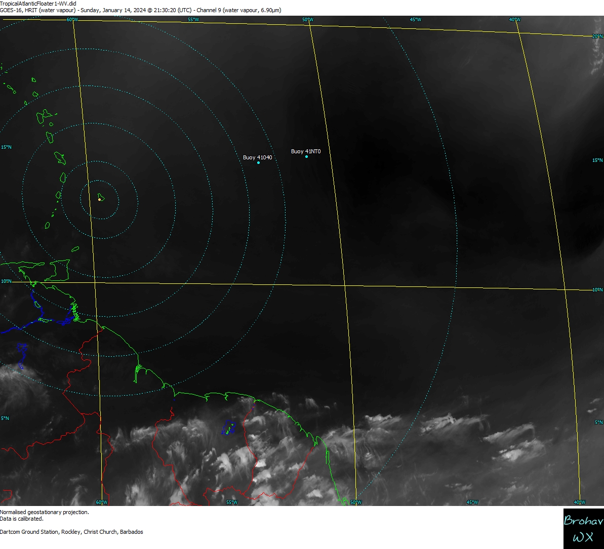
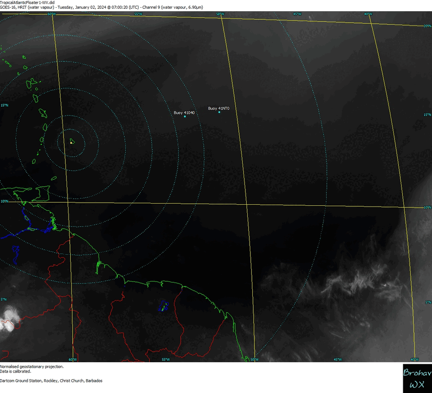
Floater 1 IR IR Image IR-Colour Loop
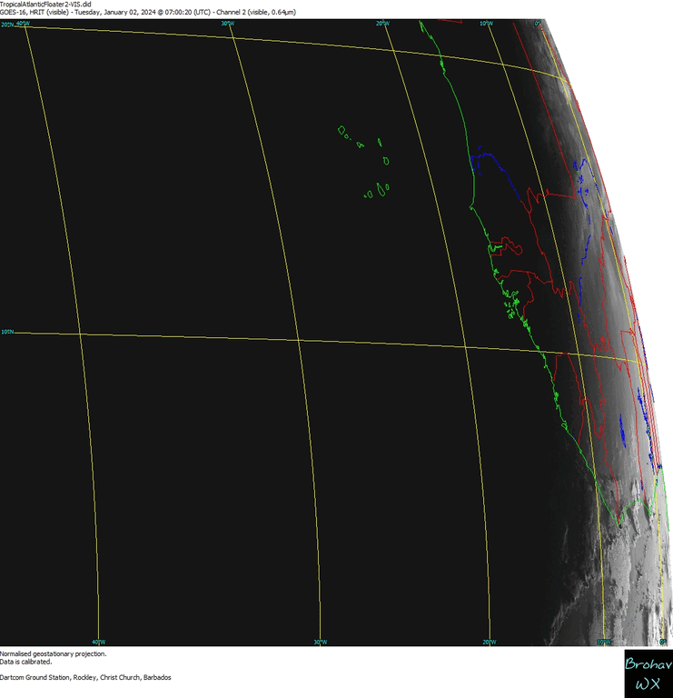
Floater 2 VIS VIS Image VIS-Loop
Floater 2 IR IR Image IR-Colour Loop
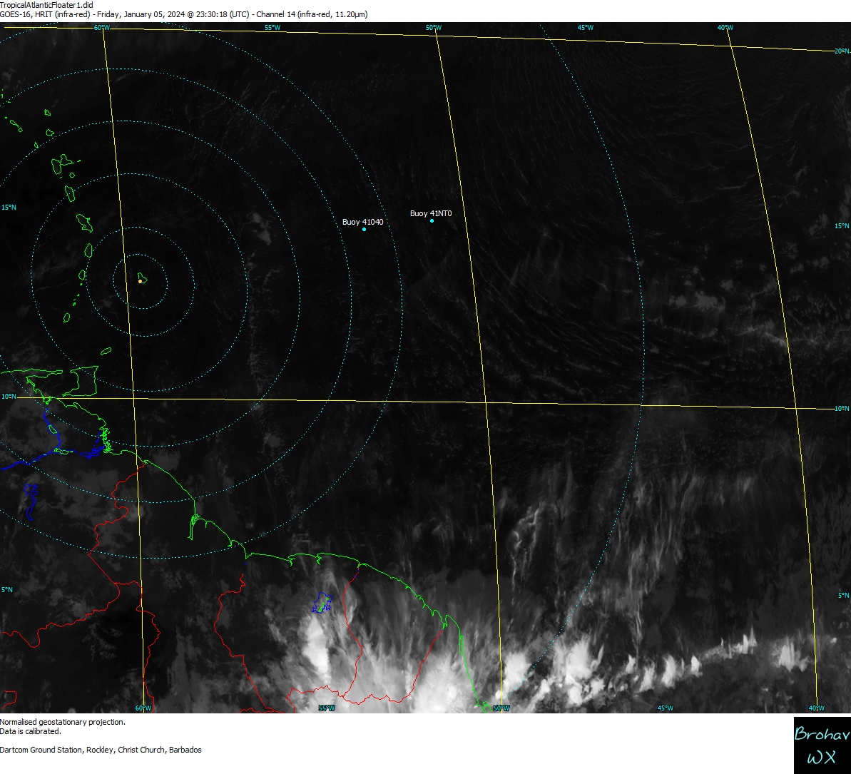
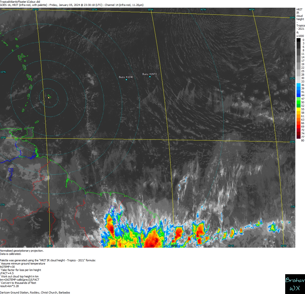
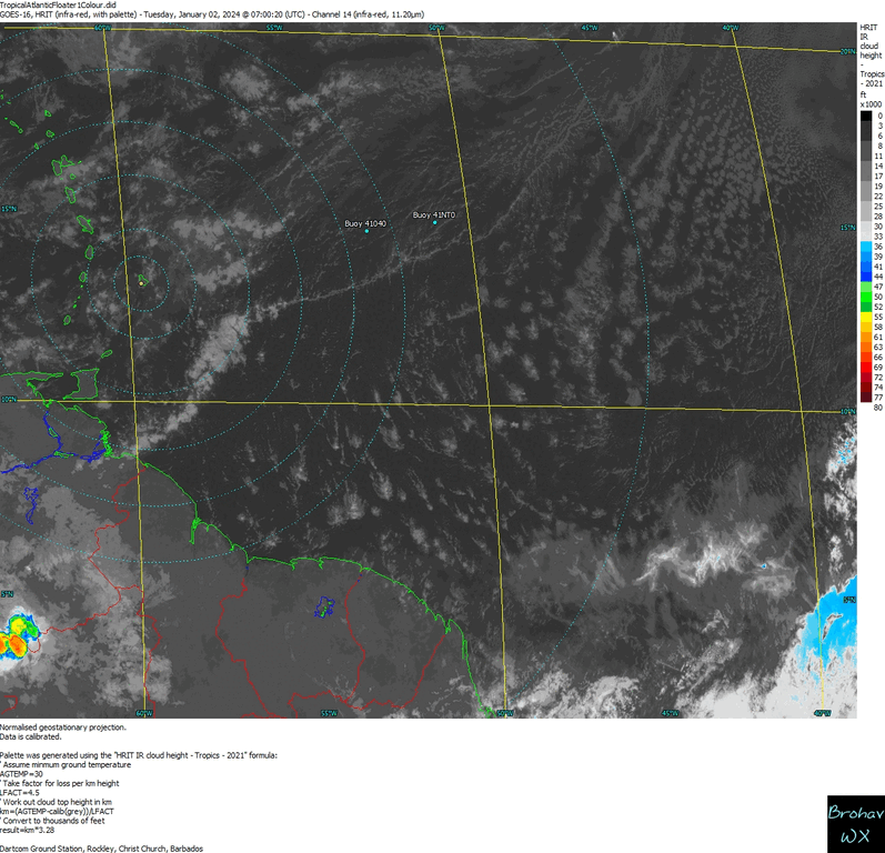
General Floater IR IR Image IR Colour Loop
Atlantic Weather & Sea Charts ...
USA/Full Atlantic Surface Analysis
West Atlantic Surface Analysis
Atlantic Wave Period & Direction
Other Data ...
Floating Buoy or Ships Reports
The Cloud Appreciation Society (Guide)
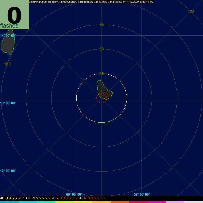
![]() Lightning Strikes showing Thunderstorm Activity & Weather near Barbados
& Eastern Caribbean
Lightning Strikes showing Thunderstorm Activity & Weather near Barbados
& Eastern Caribbean
(using Boltek Storm Tracker processed by Aninoquisi Lightning/2000 - L2K software)
Lightning Strikes around Barbados (L2K)
![]()
Lightning Strikes around Barbados (NexStorm)
Lightning Strikes around Barbados - Loop
StormVue GEN-3 Trial - Real-time Lightning
Other Links ...
Storm/Hurricane Information
NHC Analysis Tools - NHC (Hovmöller etc)
Active Storms - Tracks/Images (Monterey)
NHC Tropical Prediction Center
NWS Tropical Discussion - International Desks
AMSU Tropical Cyclone Homepage
Tropical Atlantic - Air Reconnaissance
Tropical Cyclones - Advanced Dvorak Technique
Central Florida Hurricane Center
Current Tropical Cyclone Formation Prob. (%)
Currently Active Tropical Cyclones & ArchiveAtlantic Sea Surface Temps (SST) Analysis
_______________________________
Other Weather Related Sources & Links
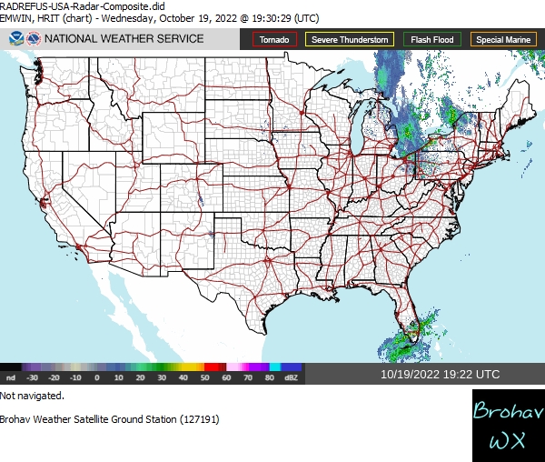
Doppler Radar
Upper Air Soundings (Weather Balloon)
University of Wyoming - Upper Air Data
US Naval Research Laboratory - Monterey
- Latest Soundings from Barbados
More Satellite Images
GOES-East Imagery - Latest Full Disk Images
GOES-East Imagery - RAMMB Slider
Saharan Air Layer (SAL) - Sahara Dust
MyFox Saharan Air Layer Forecast
CIMSS West Atlantic Latest Steering Layers
Other Models & Surface Winds
Computer Models from FSU
Historical Hurricane Info.
Tropical Tidbits Hurricane Archives
Barbados' Hurricane/Storm History
from HurricaneCity
Disclaimer:
Please note that the content of this web site should NOT be taken as an authority of Meteorological Information or Weather Forecasting.
Please check with local Meteorological authorities first before making decisions!
© 2000-2024
Brohav WeatherFax Services
Web Master & Operator: David G. Brooks
Brookhaven, Rockley, Ch. Ch.
Tel: (246) 436-1417 or 230-5333
Barbados, West Indies
